Passo Croce di Marone and Forcella di Sale are two fundamental crossroads for the extensive network of paths in the mountains of eastern Lake Iseo. Both these passes are used to reach the tops of Monte Guglielmo and Punta Almana, and are connected to each other with a pleasant mountain road which represents a rewarding ride for mountain bikers.
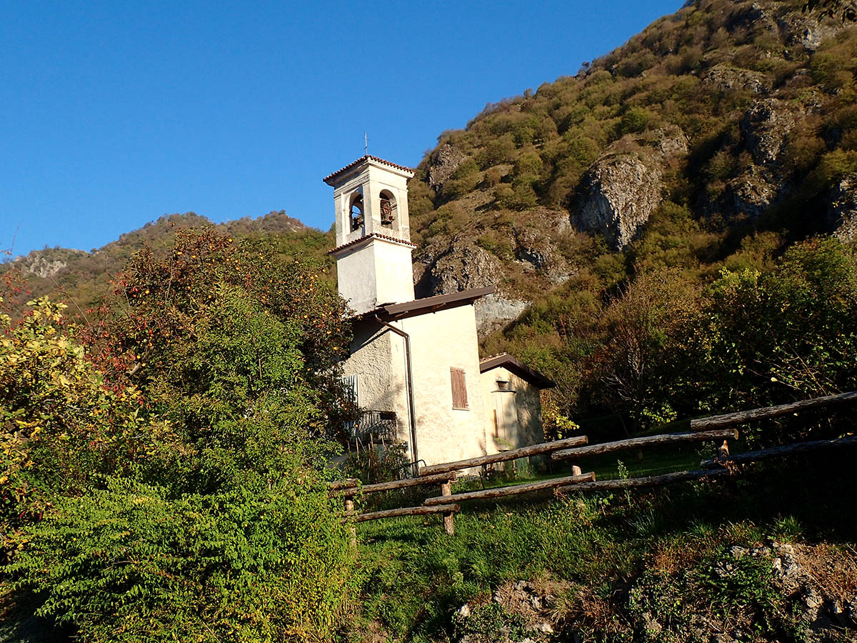
To access Croce di Marone, you can choose to leave from Colpiano. You reach this village in the municipality of Marone through Provincial Road 510; the exit for the village is clearly indicated and corresponds with the exit for Zone. Just after the tunnel, you reach the upper part of the village of Colpiano, where you park. You then start pedalling uphill towards Zone until, after about three kilometres, you reach the fork for Valle dell’Opolo, where you turn right. The slope significantly increases right away; afterwards, you proceed on an easier stretch until the meadows and rock walls adjacent to the Shrine of Madonna della Rota. After the church, the paved road becomes steep again and requires focus and effort to reach Croce di Marone. Here you will find a service area and enjoy a beautiful view. You follow the uphill road for only two hundred metres and then turn left towards Forcella di Sale, which is reached by passing through Passo Spino, mainly downhill but with short steep climbs. From Forcella di Sale, take the extremely steep descent on cement and after one kilometre you reach Baita Noase cabin; here, turn right following the indication for Anello 1 (Circuit 1) of “Malghe in rete”. The first section is very uneven but on the one which follows you will ride on cement. You pass the sign for an agritourism on the left and find a fork seven hundred metres ahead; turn right. You then cross Valle dei Novali and continue to descend as you look at the lake in front of you. Enter asphalt road Via Matteotti from the right; a few hundred metres further on you will see a sign of ancient pilgrim route Antica Strada Valeriana. Following the indications for this road (yellow and brown W) you return to the initial parking lot, passing beautiful scenic settings and a short section of steps along which you push the bike by hand.
Point of departure and arrival: Colpiano di Marone, altitude 190m
Closest railway station: Marone (www.trenord.it)
Length: 21 km
Difference in height: 837 m
Type of bicycle required: mountain bike
Difficulty: MEDIUM
