There is a pass located between Lake Iseo and upper Valle Trompia which offers interesting opportunities for cyclists. It’s Colle San Zeno, a hill in the middle of the ridge which connects Monte Guglielmo to Montecampione, a land also known for its hiking and ski opportunities. The long road which leads to Colle San Zeno from Lake Iseo side offers pleasant views and has an average slope of about 7 percent and a maximum slope of 12 percent. It is a rather challenging ascent. From Lake Iseo, you leave from the centre of Pisogne passing by the nearby church of Santa Maria della Neve, which houses a precious series of frescoes by Romanino. This is where the real climb begins. Beyond the nearby parish church of Santa Maria in Silvis, on the edge of the inhabited area, follow a sequence of hairpin turns which offer ever changing views of lower Valle Camonica and Lake Iseo.
At the fork, don’t follow the direction for Grignaghe (which would lead you to a more challenging variation for Colle San Zeno through Passabocche and Colle Marino); follow the easier road to the village of Sonvico Inferiore and Shrine of Madonna delle Longhe.
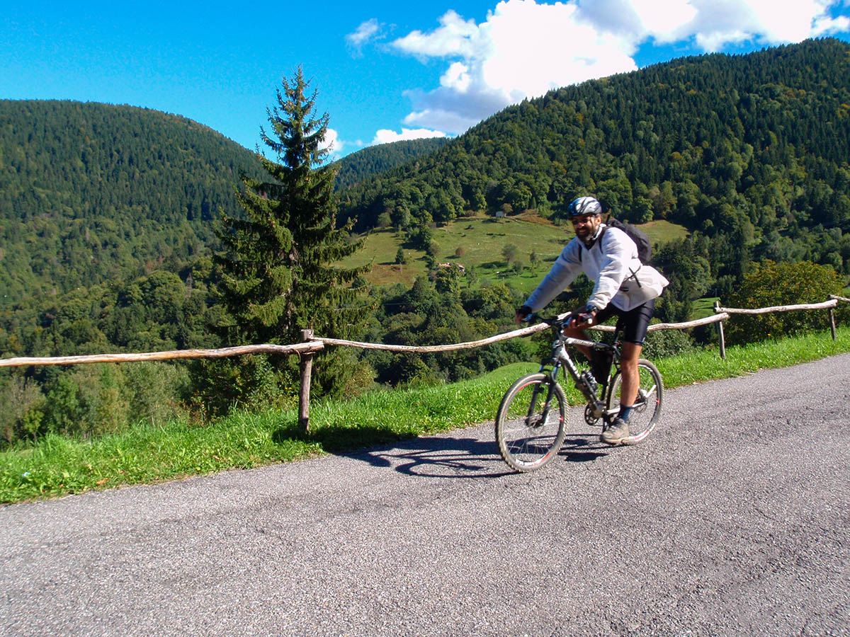
Another sequence of hairpin turns takes you to the village of Fraine and then, in a pleasant setting of meadows and woods, to the heart of Val Palot. Around the eleventh kilometre from the start, you cross a slight slope at the end of which you continue to climb with a sudden change in incline as you pass by the access to the ski area. A long, almost straight, south-bound stretch requires a more sustained effort, but the destination is not far away. After a hairpin turn to the left in view of Monte Guglielmo, the last stretch leading to Colle San Zeno is less steep. Hiking signs highlight the numerous opportunities that the area offers, with several dirt roads and mountain bike trails.
On the opposite side of the hill the view opens up over Valle Trompia.
Point of departure: Pisogne, altitude 190m
Point of arrival: Colle San Zeno, altitude 1434m
Closest railway station: Pisogne (www.trenord.it)
Length: 17 km
Difference in height: 1244m
Type of bicycle required: road bike
Difficulty: MEDIUM
